
Tactics
Beat the Wind During Warm-Weather Predator Hunting
June 3, 2026 •iSportsman Staff
September 17, 2024
Connor Merritt
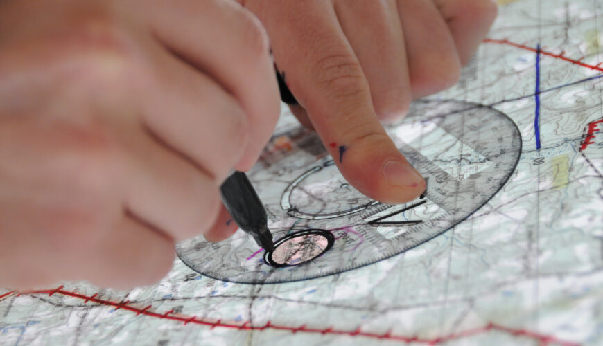
Imagine you’re sitting on edge of a ridge, scanning the tree line for movement. Your rifle is rested across your lap, and the late afternoon sun is casting long shadows across the clearing. This isn’t a random spot — you’ve chosen this location after carefully studying your topographic map. Your ability to interpret the landscape using nothing but contour lines and elevation markers gives you a significant advantage on the hunt. For all deer hunters, knowing how to read topographic maps is as essential as your rifle and camo gear.
Understanding how to read a topographic map can mean the difference between a successful hunt and going home empty-handed. Topographic maps, otherwise known as topo maps, provide an in-depth look at the landscape, showing the elevation changes, terrain features, and natural elements that influence where deer are likely to be.
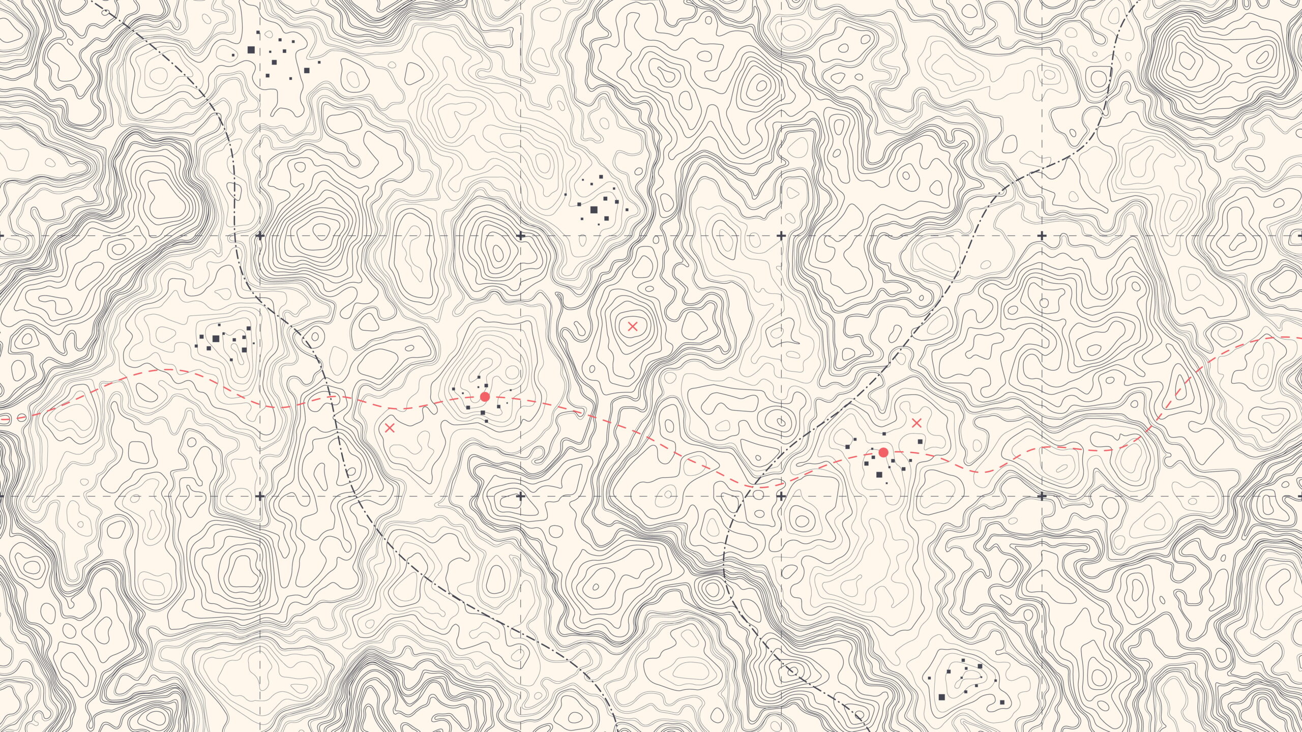
The key to reading a topographic map lies in understanding contour lines. These lines represent elevation, and the closer they are to each other, the steeper the terrain. Conversely, if the lines are spread out, the land is relatively flat. As a deer hunter, you want to focus on the areas where the terrain changes. Deer are creatures of habit and tend to follow certain paths across ridges, valleys, and benches — flat areas between steep slopes.
Beyond contour lines, topographic maps include symbols for natural features like water sources, wooded areas, and man-made structures. Pay attention to streams, ponds, and creeks, as deer are often drawn to water for drinking; additionally, flat areas or benches that are partway up a slope can serve as prime bedding areas.
For example, you might know that deer often travel along benches because these provide an easy travel route while keeping hidden from predators. A quick glance at your map can reveal several benches on the south-facing slope of a ridge, where the deer can be likely to bed during the day. With this information in mind, you can set up your stand just above the bench, therefore giving you a better vantage point.
To make the most of your topographic map, pay attention to these critical features that can help predict deer movement:
Take a step back and picture yourself using your topo map on a hunt. You’ve identified a saddle between two ridges, with a nearby bench and a small creek running along the bottom of the valley. As you scout the area in person, you find deer tracks confirming your predictions. You’ve now located a high-traffic area where deer move naturally between bedding and feeding grounds.
By learning how to read topographic maps, you’ve essentially mastered the land. You’ve gone from hoping to spot deer to predicting where they’ll be. It’s a game changer — your skill with a topo map can lead you to a perfect setup.
Now that you know how to read a topographic map and can get the edge on your quarry, all that’s left to do is find maps for where you want to hunt. Don’t know where to get started? Don’t worry: iSportsman has you covered. You can find everything you need to start planning your next hunt with our downloadable topographic maps. All maps are available for offline use through the Avenza Maps App, available for iOS and Android. So, before your next hunt, take some time to study your map — you may just find your best hunting spot yet.
June 1, 2026 •John N. Felsher